
Wasa Lake topographic map
Interactive map
Click on the map to display elevation.
About this map
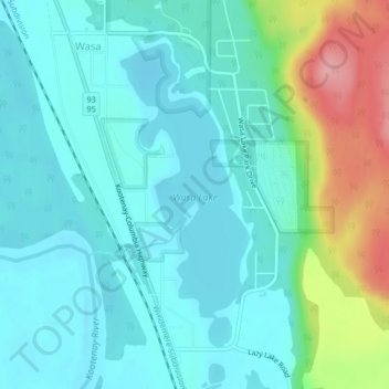
Name: Wasa Lake topographic map, elevation, terrain.
Average elevation: 793 m
Minimum elevation: 764 m
Maximum elevation: 891 m
Regional District of East Kootenay trails, hiking, mountain biking, running and outdoor activities
Other topographic maps
Click on a map to view its topography, its elevation and its terrain.
Wasa Lake Provincial Park
Canada > British Columbia > Regional District of East Kootenay > Area E (Saint Mary/Skookumchuck) > Wasa
Average elevation: 790 m