Geolocate

Otter Lake topographic map

Interactive map

Click on the map to display elevation.

About this map

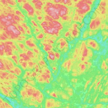
Name: Otter Lake topographic map, elevation, terrain.

Location: Otter Lake, Pontiac, Outaouais, Quebec, J0X 2P0, Canada (45.81809 -76.64027 46.02476 -76.31684)

Average elevation: 262 m

Minimum elevation: 169 m

Maximum elevation: 399 m

Pontiac trails, hiking, mountain biking, running and outdoor activities

Other topographic maps

Click on a map to view its topography, its elevation and its terrain.

Lac d'Ours

Canada > Quebec > Pontiac > Litchfield

Average elevation: 239 m

Lac Pomponne

Canada > Quebec > Pontiac > Lac-Nilgaut

Average elevation: 347 m

Lac Rueckwald

Canada > Quebec > Pontiac > Thorne

Average elevation: 223 m

Greer Mount

Canada > Quebec > Pontiac > Thorne

Average elevation: 261 m

Bristol Mines

Canada > Quebec > Pontiac > Bristol

Average elevation: 93 m

Sand Bay

Canada > Quebec > Pontiac > Clarendon

Average elevation: 85 m

Shawville

Canada > Quebec > Pontiac

Average elevation: 170 m

Danford Lake

Canada > Quebec > Pontiac > Alleyn-et-Cawood

Average elevation: 210 m

Ladysmith

Canada > Quebec > Pontiac > Thorne

Average elevation: 222 m