
Greer Mount topographic map
Click on the map to display elevation.
About this map
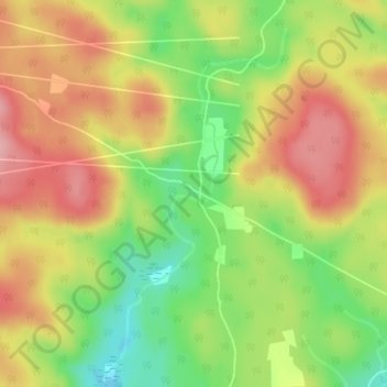
Name: Greer Mount topographic map, elevation, terrain.
Location: Greer Mount, Thorne, Pontiac, Outaouais, Quebec, Canada (45.74745 -76.47938 45.76745 -76.45938)
Average elevation: 261 m
Minimum elevation: 186 m
Maximum elevation: 328 m
Pontiac trails, hiking, mountain biking, running and outdoor activities
Other topographic maps
Click on a map to view its topography, its elevation and its terrain.