
Annandale topographic map
Interactive map
Click on the map to display elevation.
About this map
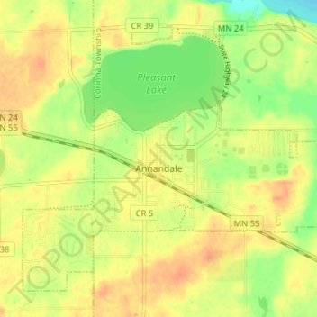
Name: Annandale topographic map, elevation, terrain.
Location: Annandale, Wright County, Minnesota, United States (45.24523 -94.15210 45.28310 -94.08800)
Average elevation: 323 m
Minimum elevation: 300 m
Maximum elevation: 339 m
Other topographic maps
Click on a map to view its topography, its elevation and its terrain.
Maple Lake
United States > Minnesota > Wright County > Maple Lake > Maple Lake
Average elevation: 314 m