Geolocate

Maple Lake topographic map

Click on the map to display elevation.

About this map

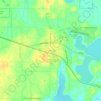
Name: Maple Lake topographic map, elevation, terrain.

Location: Maple Lake, Wright County, Minnesota, 55358, United States (45.20913 -94.02192 45.24913 -93.98192)

Average elevation: 314 m

Minimum elevation: 300 m

Maximum elevation: 329 m

Gear up for your next adventure:

Tent Footprint - Protect tent floor and increase durability
💡Compact LED Flashlight - Powerful and portable flashlight for outdoor use
🧣Merino Neck Gaiter - Protects against wind, sun, and cold at high altitudes
🥫Freeze-Dried Meals - Lightweight, high-calorie nutrition for multi-day treks
🍽️Titanium Camping Spork - Ultralight and indestructible eating utensil

As an Amazon Associate, this site earns from qualifying purchases at no extra cost to you.