
Shire of Nillumbik topographic map
Interactive map
Click on the map to display elevation.
About this map
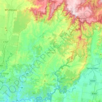
Name: Shire of Nillumbik topographic map, elevation, terrain.
Location: Shire of Nillumbik, Victoria, Australia (-37.74179 145.06784 -37.48774 145.36641)
Average elevation: 196 m
Minimum elevation: 20 m
Maximum elevation: 637 m
Other topographic maps
Click on a map to view its topography, its elevation and its terrain.
Narre Warren North Retarding Basin (Melbourne Water)
Australia > Victoria > Melbourne
Average elevation: 76 m