
City Of Cockburn topographic map
Interactive map
Click on the map to display elevation.
About this map
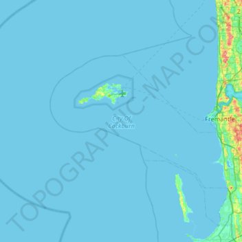
Name: City Of Cockburn topographic map, elevation, terrain.
Location: City Of Cockburn, Western Australia, Australia (-32.18139 115.38645 -31.93387 115.91615)
Average elevation: 2 m
Minimum elevation: -6 m
Maximum elevation: 76 m
Other topographic maps
Click on a map to view its topography, its elevation and its terrain.