
Dapp topographic map
Interactive map
Click on the map to display elevation.
About this map
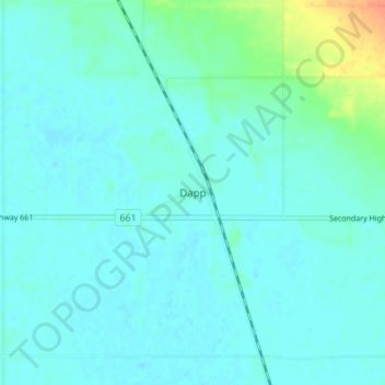
Name: Dapp topographic map, elevation, terrain.
Location: Dapp, Westlock County, Alberta, Canada (54.32384 -113.93649 54.36384 -113.89649)
Average elevation: 618 m
Minimum elevation: 611 m
Maximum elevation: 654 m