
Wrangel Island topographic map
Interactive map
Click on the map to display elevation.
About this map
Name: Wrangel Island topographic map, elevation, terrain.
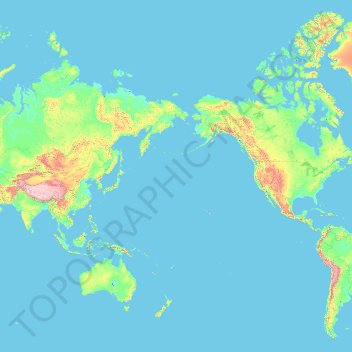
Average elevation: 168 m
Minimum elevation: -2 m
Maximum elevation: 6,643 m
The island's topography consists of a southern coastal plain that is on average 15 km (9.3 mi) wide; a 40 km (25 mi) wide east-west trending central belt of low-relief mountains, with the highest elevations at the Tsentral'nye Mountain Range; and a roughly 25 km (16 mi) wide northern coastal plain. The highest mountain on this island is Gora Sovetskaya with an elevation of 1,096 m (3,596 ft) above mean sea level, although mostly the mountains are a little over 500 m (1,600 ft) above mean sea level. The island's mountain ranges terminate at sea cliffs at either end of the island. Blossom Point is the westernmost point and Waring Point (Mys Uering) the easternmost point of the island. Despite the mountainous terrain and the high latitude, Wrangel Island is not glaciated.
Other topographic maps
Click on a map to view its topography, its elevation and its terrain.
Big Diomede
Russia > Chukotka Autonomous Okrug > Chukotsky District
Big Diomede, Chukotsky District, Chukotka Autonomous Okrug, Far Eastern Federal District, Russia
Average elevation: 101 m
Amguema River
Russia > Chukotka Autonomous Okrug
Amguema River, Iultinsky District, Chukotka Autonomous Okrug, Far Eastern Federal District, Russia
Average elevation: 167 m
Ваеги
Russia > Chukotka Autonomous Okrug > Ваеги
Ваеги, сельское поселение Ваеги, Anadyrsky District, Chukotka Autonomous Okrug, Far Eastern Federal District, Russia
Average elevation: 52 m
сельское поселение Марково
Russia > Chukotka Autonomous Okrug > сельское поселение Марково
сельское поселение Марково, Anadyrsky District, Chukotka Autonomous Okrug, Far Eastern Federal District, Russia
Average elevation: 28 m
сельское поселение Ваеги
Russia > Chukotka Autonomous Okrug > сельское поселение Ваеги
сельское поселение Ваеги, Anadyrsky District, Chukotka Autonomous Okrug, Far Eastern Federal District, Russia
Average elevation: 51 m
Ayon Island
Russia > Chukotka Autonomous Okrug
Ayon Island, Pevek urban district, Chukotka Autonomous Okrug, Far Eastern Federal District, Russia
Average elevation: 14 m
Amguema
Russia > Chukotka Autonomous Okrug
Amguema, Iultinsky District, Chukotka Autonomous Okrug, Far Eastern Federal District, Russia
Average elevation: 102 m