
Spruce Avenue topographic map
Interactive map
Click on the map to display elevation.
About this map
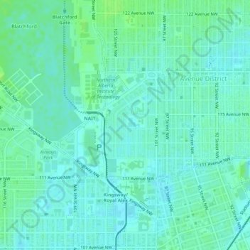
Name: Spruce Avenue topographic map, elevation, terrain.
Location: Spruce Avenue, Avenue District, Edmonton, Alberta, Canada (53.55889 -113.51234 53.57038 -113.49176)
Average elevation: 665 m
Minimum elevation: 661 m
Maximum elevation: 671 m
Alberta trails, hiking, mountain biking, running and outdoor activities
Other topographic maps
Click on a map to view its topography, its elevation and its terrain.