
Banda Aceh topographic map
Interactive map
Click on the map to display elevation.
About this map
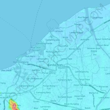
Name: Banda Aceh topographic map, elevation, terrain.
Location: Banda Aceh, Aceh, Sumatra, Indonesia (5.51639 95.27506 5.60724 95.37777)
Average elevation: 5 m
Minimum elevation: -3 m
Maximum elevation: 220 m
Other topographic maps
Click on a map to view its topography, its elevation and its terrain.