
Hanna topographic map
Interactive map
Click on the map to display elevation.
About this map
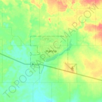
Name: Hanna topographic map, elevation, terrain.
Location: Hanna, Alberta, T0J 1P0, Canada (51.60456 -111.96748 51.68456 -111.88748)
Average elevation: 819 m
Minimum elevation: 799 m
Maximum elevation: 851 m
Hanna trails, hiking, mountain biking, running and outdoor activities