
Cobb Island topographic map
Interactive map
Click on the map to display elevation.
About this map
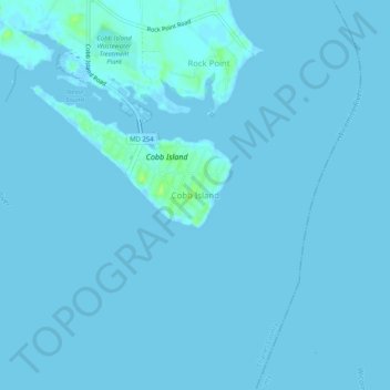
Name: Cobb Island topographic map, elevation, terrain.
Location: Cobb Island, Charles County, Maryland, 20625, United States (38.23854 -76.86255 38.27854 -76.82255)
Average elevation: 1 m
Minimum elevation: -2 m
Maximum elevation: 11 m
Other topographic maps
Click on a map to view its topography, its elevation and its terrain.