
Heber topographic map
Interactive map
Click on the map to display elevation.
About this map
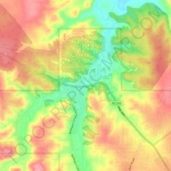
Name: Heber topographic map, elevation, terrain.
Location: Heber, Navajo County, Arizona, 85928, United States (34.41121 -110.61393 34.45121 -110.57393)
Average elevation: 2,001 m
Minimum elevation: 1,940 m
Maximum elevation: 2,047 m
Other topographic maps
Click on a map to view its topography, its elevation and its terrain.
Show Low
United States > Arizona > Navajo County
Show Low is a city in Navajo County, Arizona. It lies on the Mogollon Rim in east central Arizona, at an elevation of 6,345 feet (1,934 m). The city was established in 1870 and incorporated in 1953. According to the 2010 census, the population of the city was 10,660.
Average elevation: 1,957 m