Geolocate

Mayahan topographic map

Click on the map to display elevation.

About this map

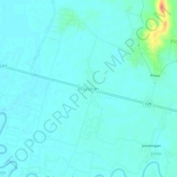
Name: Mayahan topographic map, elevation, terrain.

Location: Mayahan, Grobogan, Central Java, Java, Indonesia (-7.09614 110.94577 -7.05614 110.98577)

Average elevation: 32 m

Minimum elevation: 25 m

Maximum elevation: 69 m

Other topographic maps

Click on a map to view its topography, its elevation and its terrain.

Grobogan

Indonesia > Central Java > Grobogan

Average elevation: 90 m

Gear up for your next adventure:

🥾Approach Shoes - Shoes designed for climbing approaches and rugged trails
🧣Merino Neck Gaiter - Protects against wind, sun, and cold at high altitudes
🥾Hiking Shorts - Breathable shorts suitable for summer hikes
🥾Durable Hiking Shoes - Long-lasting shoes for frequent hiking
🚲Handlebar Phone Mount - View topographic-map.com live while cycling

As an Amazon Associate, this site earns from qualifying purchases at no extra cost to you.