
Lauenstein topographic map
Click on the map to display elevation.
Lauenstein
Lauenstein liegt etwa 40 km südlich von Dresden im Osterzgebirge im oberen Tal der Müglitz. Der Ort erstreckt sich vom Bahnhof auf 470 m Höhe an den linken Hängen der Müglitz bis 710 m hoch aufsteigend über dem Fluss. Das Zentrum befindet sich auf einer Terrasse etwa 50 m über dem Müglitztal.
About this map
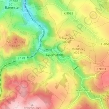
Name: Lauenstein topographic map, elevation, terrain.
Average elevation: 575 m
Minimum elevation: 437 m
Maximum elevation: 706 m
Other topographic maps
Click on a map to view its topography, its elevation and its terrain.