Geolocate

El Floreño topographic map

Click on the map to display elevation.

About this map

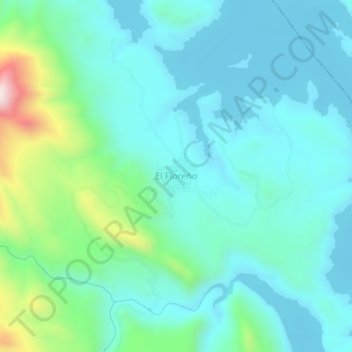
Name: El Floreño topographic map, elevation, terrain.

Location: El Floreño, Tepic, Nayarit, Mexico (21.60497 -104.64476 21.64497 -104.60476)

Average elevation: 315 m

Minimum elevation: 203 m

Maximum elevation: 778 m

Gear up for your next adventure:

🧢Beanie Hat - Keep your head warm in cold weather
❄️Traction Ice Cleats - Slip-on spikes for icy trails and winter hiking
🥾Waterproof Trail Shoes - Shoes designed to handle wet terrain
🧥Ultralight Puffy Jacket - Maximum warmth that packs down to the size of an orange
🥾Trekking Poles - Adjustable trekking poles to reduce knee stress and improve stability

As an Amazon Associate, this site earns from qualifying purchases at no extra cost to you.