
Hope topographic map
Click on the map to display elevation.
About this map
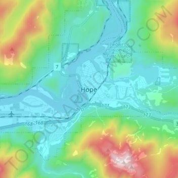
Name: Hope topographic map, elevation, terrain.
Average elevation: 435 m
Minimum elevation: 19 m
Maximum elevation: 1,827 m
Fraser Valley Regional District trails, hiking, mountain biking, running and outdoor activities