
Temamatla topographic map
Interactive map
Click on the map to display elevation.
About this map
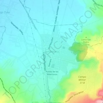
Name: Temamatla topographic map, elevation, terrain.
Location: Temamatla, État de Mexico, Mexique (19.18357 -98.88977 19.22357 -98.84977)
Average elevation: 2,292 m
Minimum elevation: 2,252 m
Maximum elevation: 2,441 m