
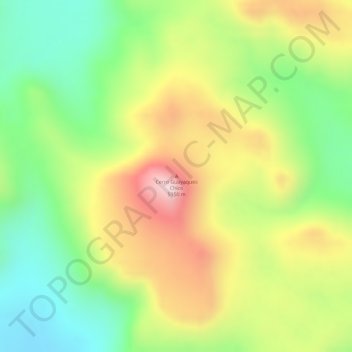
Cerro Guayaques Chico topographic map
Interactive map
Click on the map to display elevation.
About this map
Name: Cerro Guayaques Chico topographic map, elevation, terrain.
Average elevation: 4,943 m
Minimum elevation: 4,757 m
Maximum elevation: 5,152 m
Other topographic maps
Click on a map to view its topography, its elevation and its terrain.
Uturuncu
Bolivie > PSI > Municipio San Pablo de Lipez
Uturuncu, Municipio San Pablo de Lipez, Provincia Sur Lípez, PSI, Bolivie
Average elevation: 5,594 m