Geolocate

Numaligarh topographic map

Click on the map to display elevation.

About this map

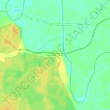
Name: Numaligarh topographic map, elevation, terrain.

Location: Numaligarh, Bokakhat, Golaghat, Assam, 785615, India (26.61049 93.70677 26.65049 93.74677)

Average elevation: 87 m

Minimum elevation: 74 m

Maximum elevation: 102 m

Gear up for your next adventure:

🧢Outdoor Cap - Protective cap for sun and rain during hikes
🥤Collapsible Travel Cup - Saves space and weight in your mess kit
🧥Fleece Jacket - Warm and lightweight jacket for layering
🔥Camping Stove - Portable stoves to cook outdoors with ease
🥘Camping Cookware Set - Compact nesting pots and pans for trail cooking

As an Amazon Associate, this site earns from qualifying purchases at no extra cost to you.