
Isla de San Martín topographic map
Interactive map
Click on the map to display elevation.
About this map
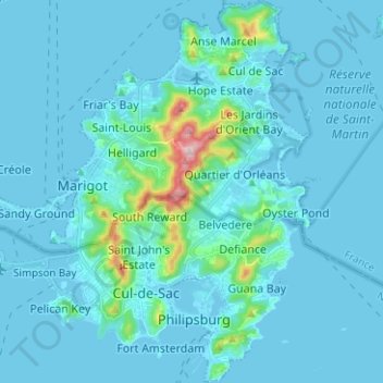
Name: Isla de San Martín topographic map, elevation, terrain.
Location: Isla de San Martín, San Martín (Francia), 97150, Francia (18.00516 -63.09699 18.12448 -63.01013)
Average elevation: 31 m
Minimum elevation: -4 m
Maximum elevation: 412 m