
Frías topographic map
Interactive map
Click on the map to display elevation.
About this map
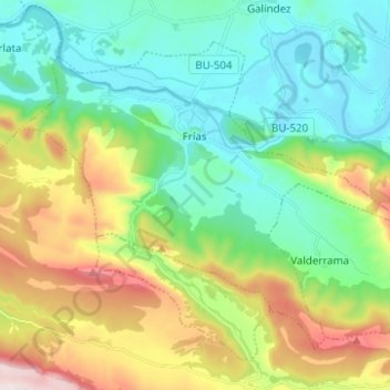
Name: Frías topographic map, elevation, terrain.
Location: Frías, Burgos, Castilië en León, Spanje (42.71190 -3.35011 42.78388 -3.22609)
Average elevation: 709 m
Minimum elevation: 512 m
Maximum elevation: 1,153 m