Geolocate

Riley topographic map

Click on the map to display elevation.

About this map

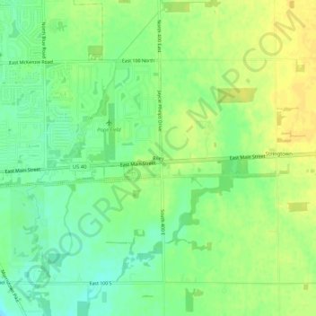
Name: Riley topographic map, elevation, terrain.

Location: Riley, Greenfield, Hancock County, Indiana, United States (39.76767 -85.74745 39.80767 -85.70745)

Average elevation: 275 m

Minimum elevation: 263 m

Maximum elevation: 285 m

Gear up for your next adventure:

🧶550 Survival Paracord - Versatile utility cord for emergency repairs and rigging
🧥Ultralight Puffy Jacket - Maximum warmth that packs down to the size of an orange
🌬️Windproof Camp Stove - Efficient cooking even on exposed mountain peaks
💧Collapsible Water Bottle - Space-saving water bottle for outdoor activities
Camping Essentials - All-in-one gear for a comfortable camping trip

As an Amazon Associate, this site earns from qualifying purchases at no extra cost to you.