Geolocate

Grassi topographic map

Click on the map to display elevation.

About this map

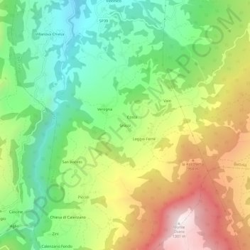
Name: Grassi topographic map, elevation, terrain.

Location: Grassi, Bettola, Piacenza, Emilia-Romagna, Italy (44.74612 9.50271 44.78612 9.54271)

Average elevation: 708 m

Minimum elevation: 306 m

Maximum elevation: 1,290 m

Gear up for your next adventure:

🎒Fully Waterproof Backpack - Total protection for photography gear and electronics
🥫Freeze-Dried Meals - Lightweight, high-calorie nutrition for multi-day treks
💧Hydration Pack - Hands-free hydration system for long hikes
🧶550 Survival Paracord - Versatile utility cord for emergency repairs and rigging
🥾Trail Running Shoes - Lightweight and durable shoes for trail running

As an Amazon Associate, this site earns from qualifying purchases at no extra cost to you.