
Kwilu topographic map
Interactive map
Click on the map to display elevation.
About this map
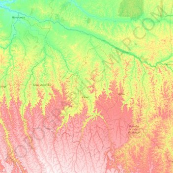
Name: Kwilu topographic map, elevation, terrain.
Location: Kwilu, DR Kongo (-6.40112 16.47907 -3.22041 20.20513)
Average elevation: 537 m
Minimum elevation: 285 m
Maximum elevation: 1,013 m
Other topographic maps
Click on a map to view its topography, its elevation and its terrain.