
Phillip Jung Number 1 Dam topographic map
Interactive map
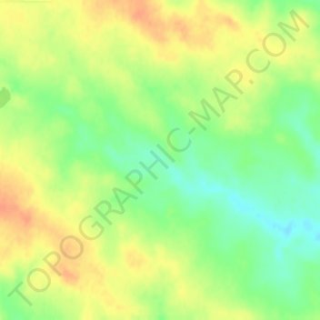
Click on the map to display elevation.
About this map
Name: Phillip Jung Number 1 Dam topographic map, elevation, terrain.
Average elevation: 671 m
Minimum elevation: 649 m
Maximum elevation: 688 m
Other topographic maps
Click on a map to view its topography, its elevation and its terrain.
McIntosh
United States > South Dakota > Corson County
McIntosh, Rock Creek District, Corson County, South Dakota, United States
Average elevation: 695 m
Walker
United States > South Dakota > Corson County
Walker, Rock Creek District, Corson County, South Dakota, United States
Average elevation: 662 m