Geolocate

Germaneto topographic map

Click on the map to display elevation.

About this map

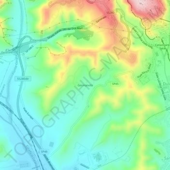
Name: Germaneto topographic map, elevation, terrain.

Location: Germaneto, Catanzaro, Calabria, 88100, Italy (38.86563 16.55520 38.90563 16.59520)

Average elevation: 136 m

Minimum elevation: 35 m

Maximum elevation: 349 m

Gear up for your next adventure:

🔦UV Flashlight - Detect minerals or specific insects in the dark
🛶Canoe Life Vest - Safety vest for water sports
🥾Waterproof Hiking Shoes - Durable shoes for wet and rugged trails
🥾Durable Hiking Shoes - Long-lasting shoes for frequent hiking
🗺️Topographic Maps - Detailed maps to explore trails, mountains, and wilderness areas

As an Amazon Associate, this site earns from qualifying purchases at no extra cost to you.