
Pryor Creek topographic map
Interactive map
Click on the map to display elevation.
About this map
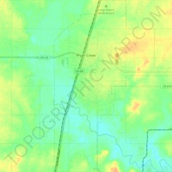
Name: Pryor Creek topographic map, elevation, terrain.
Location: Pryor Creek, Mayes County, Oklahoma, Stati Uniti d'America (36.24938 -95.34592 36.33632 -95.25620)
Average elevation: 190 m
Minimum elevation: 176 m
Maximum elevation: 209 m