Geolocate

Mantingan topographic map

Click on the map to display elevation.

About this map

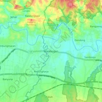
Name: Mantingan topographic map, elevation, terrain.

Location: Mantingan, Ngawi, East Java, Java, Indonesia (-7.40360 111.10749 -7.32360 111.18749)

Average elevation: 80 m

Minimum elevation: 55 m

Maximum elevation: 135 m

Gear up for your next adventure:

🥾Hiking Leggings - Comfortable leggings for outdoor activities
🛁Quick-Dry Microfiber Towel - Space-saving towel that dries rapidly on the move
Lightweight Backpacking Tent - Compact tent for efficient hiking trips
🧴Outdoor Sunscreen - High SPF protection for high-altitude UV exposure
🍽️Titanium Camping Spork - Ultralight and indestructible eating utensil

As an Amazon Associate, this site earns from qualifying purchases at no extra cost to you.