Geolocate

Geya topographic map

Click on the map to display elevation.

About this map

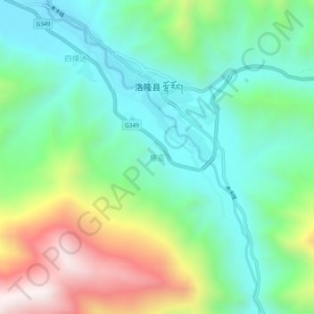
Name: Geya topographic map, elevation, terrain.

Location: Geya, Chamdo City, Tibet, China (30.71518 95.80369 30.75518 95.84369)

Average elevation: 3,896 m

Minimum elevation: 3,590 m

Maximum elevation: 4,559 m

Gear up for your next adventure:

💧Filtered Water Bottle - Safe drinking water on the go
🧦Crew Hiking Socks - Comfortable socks for long-distance hikes
🐕Hiking Dog Pack - Let your canine companion carry their own water and food
💡Compact LED Flashlight - Powerful and portable flashlight for outdoor use
🥾Durable Hiking Shoes - Long-lasting shoes for frequent hiking

As an Amazon Associate, this site earns from qualifying purchases at no extra cost to you.