
Make a donation
Gear up for your next adventure:
As an Amazon Associate, this site earns from qualifying purchases at no extra cost to you.
Buruway topographic map
Click on the map to display elevation.
Make a donation
Gear up for your next adventure:
As an Amazon Associate, this site earns from qualifying purchases at no extra cost to you.
About this map
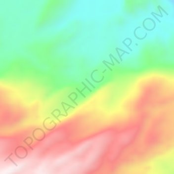
Name: Buruway topographic map, elevation, terrain.
Location: Buruway, West Papua, Western New Guinea, Indonesia (-3.91399 133.06727 -3.87399 133.10727)
Average elevation: 778 m
Minimum elevation: 457 m
Maximum elevation: 1,161 m
Make a donation
Gear up for your next adventure:
As an Amazon Associate, this site earns from qualifying purchases at no extra cost to you.
Other topographic maps
Click on a map to view its topography, its elevation and its terrain.
Danau Anggi Gida
Indonesia > West Papua > Pegunungan Arfak > Krobut / Kiwot
Average elevation: 1,957 m
Make a donation
Gear up for your next adventure:
As an Amazon Associate, this site earns from qualifying purchases at no extra cost to you.