
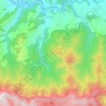
Montellà i Martinet topographic map
Interactive map
Click on the map to display elevation.
About this map
Name: Montellà i Martinet topographic map, elevation, terrain.
Location: Montellà i Martinet, Cerdaña, Lérida, Cataluña, 25725, España (42.27961 1.65154 42.36621 1.73947)
Average elevation: 1,534 m
Minimum elevation: 899 m
Maximum elevation: 2,645 m
Other topographic maps
Click on a map to view its topography, its elevation and its terrain.
Martinet
España > Cataluña > Montellà i Martinet > Martinet
Martinet, Montellà i Martinet, Cerdaña, Lérida, Cataluña, 25725, España
Average elevation: 1,135 m