
Boton topographic map
Interactive map
Click on the map to display elevation.
About this map
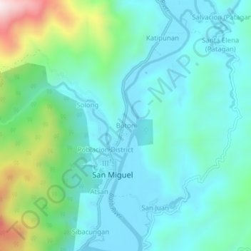
Name: Boton topographic map, elevation, terrain.
Location: Boton, Catanduanes, Bicol Region, Philippines (13.62816 124.28525 13.66816 124.32525)
Average elevation: 141 m
Minimum elevation: 1 m
Maximum elevation: 656 m