
Image topographic map
Click on the map to display elevation.
About this map
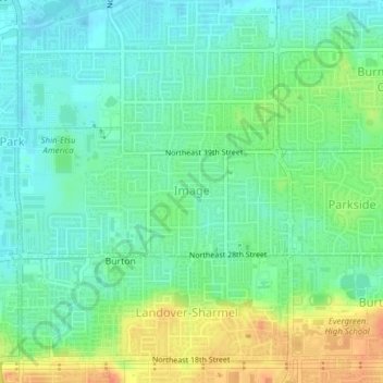
Name: Image topographic map, elevation, terrain.
Location: Image, Vancouver, Clark County, Washington, United States (45.64276 -122.55799 45.65195 -122.53069)
Average elevation: 75 m
Minimum elevation: 59 m
Maximum elevation: 103 m
Other topographic maps
Click on a map to view its topography, its elevation and its terrain.
Salmon Creek Regional Park
United States > Washington > Clark County > Vancouver
Average elevation: 48 m