
Stella Maris topographic map
Interactive map
Click on the map to display elevation.
About this map
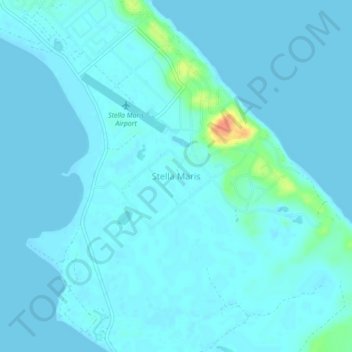
Name: Stella Maris topographic map, elevation, terrain.
Location: Stella Maris, Long Island, The Bahamas (23.55473 -75.28222 23.59473 -75.24222)
Average elevation: 4 m
Minimum elevation: -1 m
Maximum elevation: 45 m
Other topographic maps
Click on a map to view its topography, its elevation and its terrain.