Geolocate

Merrivale topographic map

Click on the map to display elevation.

About this map

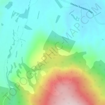
Name: Merrivale topographic map, elevation, terrain.

Location: Merrivale, Tuatapere Te Waewae Community, Southland District, Southland, New Zealand (-46.09233 167.85511 -46.09223 167.85521)

Average elevation: 192 m

Minimum elevation: 69 m

Maximum elevation: 469 m

Other topographic maps

Click on a map to view its topography, its elevation and its terrain.

Gear up for your next adventure:

🧢Hiking Hat - Sun-protective and breathable hats for long treks
🥾Hiking Gaiters - Protect legs and shoes from mud, snow, and debris
🧢Sun Protection Cap - Breathable cap to protect from sun exposure
🔨Vehicle Emergency Tool - Safety tool for remote road trips to trailheads
🧦Hiking Socks - Moisture-wicking and comfortable socks for long hikes

As an Amazon Associate, this site earns from qualifying purchases at no extra cost to you.