
Pike topographic map
Interactive map
Click on the map to display elevation.
About this map
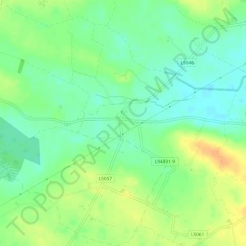
Name: Pike topographic map, elevation, terrain.
Average elevation: 50 m
Minimum elevation: 36 m
Maximum elevation: 67 m
Other topographic maps
Click on a map to view its topography, its elevation and its terrain.
Ardfinnan
Ardfinnan, The Municipal District of Cahir — Cashel, Comté de Tipperary, Munster, E91 A7D8, Irlande
Average elevation: 55 m
Green
Green, Cashel Urban, The Municipal District of Cahir — Cashel, Comté de Tipperary, Munster, E25 RD21, Irlande
Average elevation: 117 m
The Municipal District of Cahir — Cashel
The Municipal District of Cahir — Cashel, Comté de Tipperary, Munster, Irlande
Average elevation: 143 m
Redwood
Redwood, The Municipal District of Nenagh, Comté de Tipperary, Munster, E45 VF25, Irlande
Average elevation: 48 m