Geolocate

Abdon topographic map

Click on the map to display elevation.

About this map

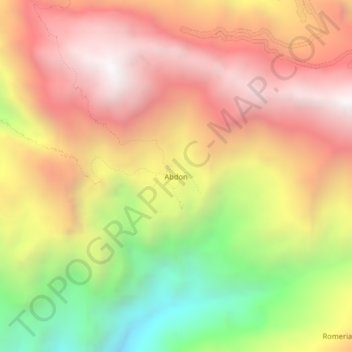
Name: Abdon topographic map, elevation, terrain.

Location: Abdon, Longotea, Province of Bolívar, La Libertad, Peru (-7.09183 -77.89411 -7.05183 -77.85411)

Average elevation: 2,919 m

Minimum elevation: 1,879 m

Maximum elevation: 3,723 m

Gear up for your next adventure:

🧥Waterproof Pants - Keep dry during rainy hiking conditions
💡LED Headlamp - Hands-free illumination for night hiking and camping
💧Hydration Pack - Hands-free hydration system for long hikes
🧦Hiking Liner Socks - Thin base layer to prevent friction and blisters
💡Portable Camping Lamp - Rechargeable lamp for campsite lighting

As an Amazon Associate, this site earns from qualifying purchases at no extra cost to you.