
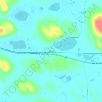
Lakeside topographic map
Interactive map
Click on the map to display elevation.
About this map
Name: Lakeside topographic map, elevation, terrain.
Location: Lakeside, Sheridan County, Nebraska, États-Unis d'Amérique (42.03595 -102.44480 42.07595 -102.40480)
Average elevation: 1,190 m
Minimum elevation: 1,178 m
Maximum elevation: 1,241 m
Other topographic maps
Click on a map to view its topography, its elevation and its terrain.
Bingham
États-Unis d'Amérique > Nebraska > Sheridan County
Bingham, Sheridan County, Nebraska, 69335, États-Unis d'Amérique
Average elevation: 1,207 m