
La Liebre topographic map
Interactive map
Click on the map to display elevation.
About this map
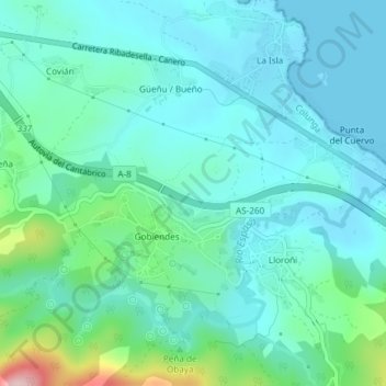
Name: La Liebre topographic map, elevation, terrain.
Location: La Liebre, Colunga, Asturias, 33342, España (43.46241 -5.24463 43.48241 -5.22463)
Average elevation: 45 m
Minimum elevation: 0 m
Maximum elevation: 242 m