
RT 13 15 ILIR topographic map
Interactive map
Click on the map to display elevation.
About this map
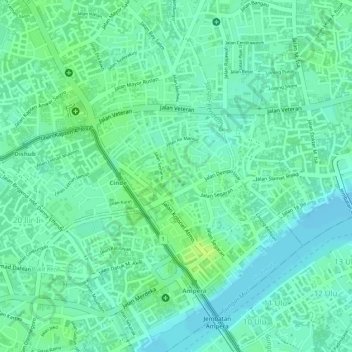
Name: RT 13 15 ILIR topographic map, elevation, terrain.
Average elevation: 8 m
Minimum elevation: 1 m
Maximum elevation: 16 m
Other topographic maps
Click on a map to view its topography, its elevation and its terrain.
Palembang
Indonésie > Sumatra du Sud > Palembang
Palembang, Sumatra du Sud, Indonésie
Average elevation: 6 m