
Waukee topographic map
Click on the map to display elevation.
About this map
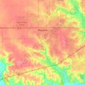
Name: Waukee topographic map, elevation, terrain.
Location: Waukee, Dallas County, Iowa, 50263, United States (41.52667 -93.95543 41.65112 -93.81426)
Average elevation: 298 m
Minimum elevation: 246 m
Maximum elevation: 329 m