Geolocate

Zouar topographic map

Click on the map to display elevation.

About this map

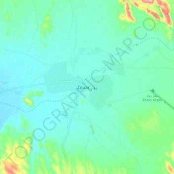
Name: Zouar topographic map, elevation, terrain.

Location: Zouar, Tibesti, Chad (20.41473 16.49365 20.49473 16.57365)

Average elevation: 797 m

Minimum elevation: 756 m

Maximum elevation: 974 m

Gear up for your next adventure:

🦌Outdoor Trail Camera - Monitor wildlife activity near your favorite spots
🏃Hydration Running Vest - Carry water and maps close to your body for speed
🔋Solar Power Bank - Keep your GPS and devices charged during long outdoor trips
🧥Softshell Jacket - Windproof and breathable jacket for hiking
🥾Approach Boots - Comfortable boots for hiking and climbing approaches

As an Amazon Associate, this site earns from qualifying purchases at no extra cost to you.