Geolocate

Minocqua topographic map

Click on the map to display elevation.

About this map

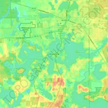
Name: Minocqua topographic map, elevation, terrain.

Location: Minocqua, Town of Minoqua, Oneida County, Wisconsin, United States (45.83134 -89.75098 45.91134 -89.67098)

Average elevation: 491 m

Minimum elevation: 473 m

Maximum elevation: 514 m

Other topographic maps

Click on a map to view its topography, its elevation and its terrain.

Spruce Lake

United States > Wisconsin > Oneida County

Average elevation: 482 m

Gear up for your next adventure:

🕶️Polarized Sunglasses - Reduces glare from snow and water at high elevations
👖Convertible Hiking Pants - Zip-off legs to adapt to changing weather conditions
Camping Essentials - All-in-one gear for a comfortable camping trip
🥾Lightweight Hiking Boots - Boots for comfort and mobility on long hikes
🛶Canoe Life Vest - Safety vest for water sports

As an Amazon Associate, this site earns from qualifying purchases at no extra cost to you.