Geolocate

Dongtun topographic map

Click on the map to display elevation.

About this map

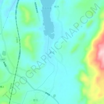
Name: Dongtun topographic map, elevation, terrain.

Location: Dongtun, Xuanwei City, Qujing City, Yunnan, China (26.01340 104.09300 26.05340 104.13300)

Average elevation: 2,039 m

Minimum elevation: 1,986 m

Maximum elevation: 2,233 m

Gear up for your next adventure:

🥾Hiking Shorts - Breathable shorts suitable for summer hikes
🥾Durable Hiking Shoes - Long-lasting shoes for frequent hiking
Tent Footprint - Protect tent floor and increase durability
Camping Groundsheet - Protect your tent from moisture and dirt
🧥Packable Rain Jacket - Breathable waterproof layer for unpredictable weather

As an Amazon Associate, this site earns from qualifying purchases at no extra cost to you.