Geolocate

El Encano topographic map

Click on the map to display elevation.

About this map

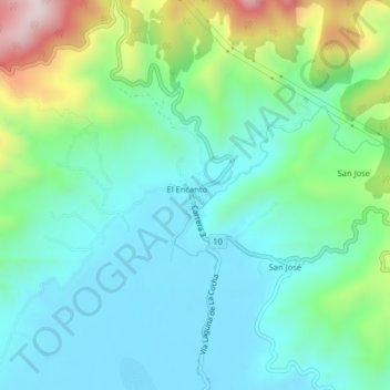
Name: El Encano topographic map, elevation, terrain.

Location: El Encano, Pasto, Centro, Nariño, Colombia (1.14207 -77.17545 1.18207 -77.13545)

Average elevation: 2,912 m

Minimum elevation: 2,779 m

Maximum elevation: 3,306 m

Gear up for your next adventure:

🧊Portable Cooler - Keep food and drinks cold during outdoor adventures
🔥Camping Stove - Portable stoves to cook outdoors with ease
🎒Fully Waterproof Backpack - Total protection for photography gear and electronics
🥾Waterproof Hiking Shoes - Durable shoes for wet and rugged trails
🛶Kayak Accessories - Essential gear for safe and fun kayaking adventures

As an Amazon Associate, this site earns from qualifying purchases at no extra cost to you.