
Tiruttani topographic map
Click on the map to display elevation.
Tiruttani
Tiruttani is located at 13°11′N 79°38′E / 13.18°N 79.63°E / 13.18; 79.63. It has an average elevation of 76 metres (249 ft).
About this map
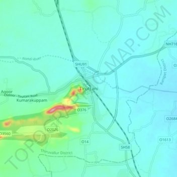
Name: Tiruttani topographic map, elevation, terrain.
Location: Tiruttani, Thiruvallur District, Tamil Nadu, 631209, India (13.13697 79.57276 13.21697 79.65276)
Average elevation: 92 m
Minimum elevation: 68 m
Maximum elevation: 237 m