
Clarence River topographic map
Interactive map
Click on the map to display elevation.
About this map
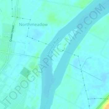
Name: Clarence River topographic map, elevation, terrain.
Average elevation: 4 m
Minimum elevation: -2 m
Maximum elevation: 27 m
Other topographic maps
Click on a map to view its topography, its elevation and its terrain.
Grafton
Australie > Nouvelle Galles du Sud > Grafton
Grafton, Clarence Valley Council, Nouvelle Galles du Sud, Australie
Average elevation: 36 m