
Tharon topographic map
Interactive map
Click on the map to display elevation.
About this map
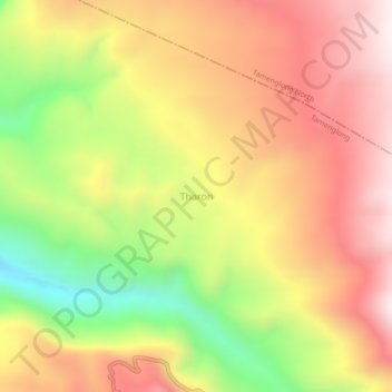
Name: Tharon topographic map, elevation, terrain.
Location: Tharon, Tamenglong tehsil, Tamenglong District, Manipur, Inde (25.03022 93.52764 25.07022 93.56764)
Average elevation: 956 m
Minimum elevation: 484 m
Maximum elevation: 1,330 m